Every Geek should have one!
InshoreWatersLite
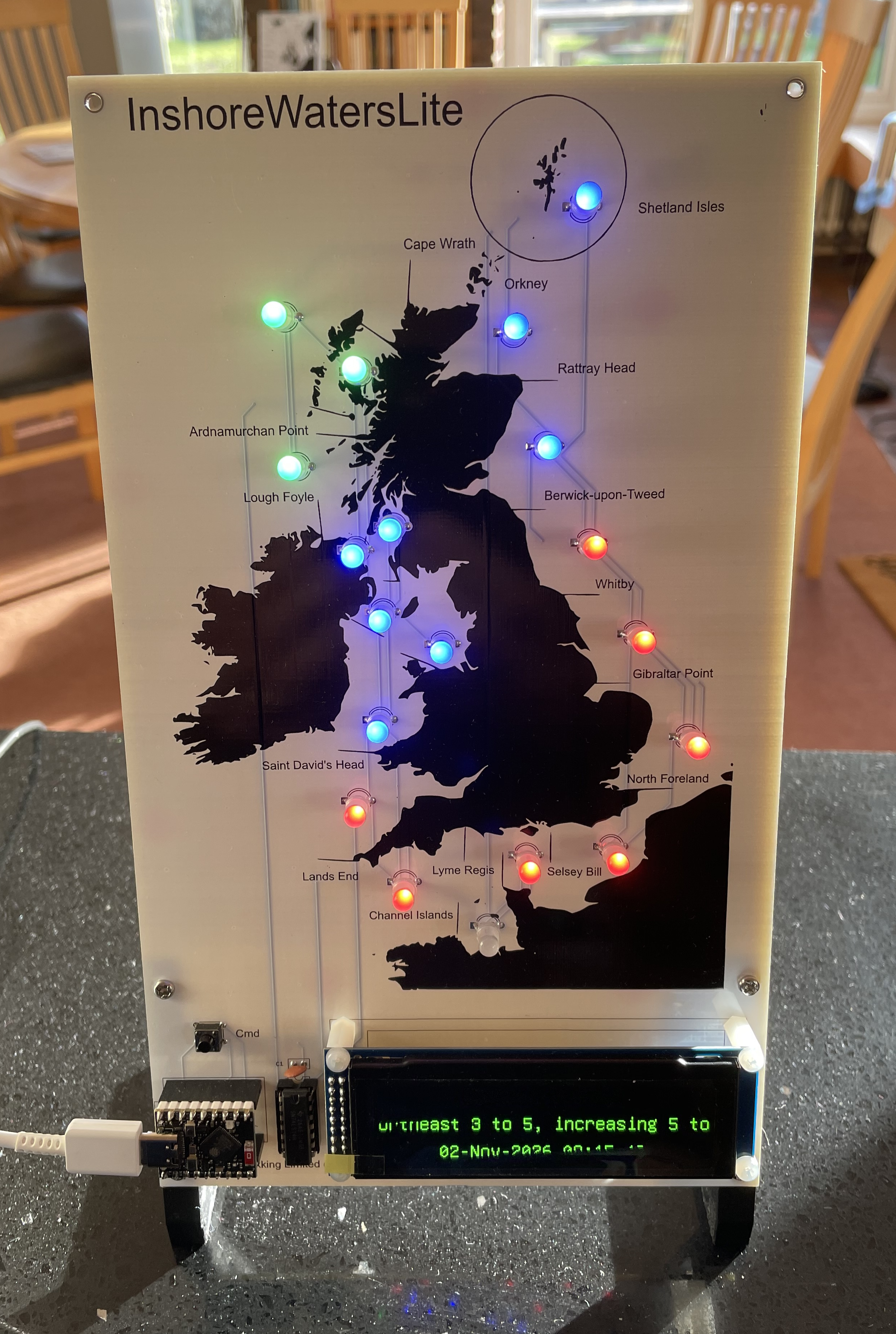
The UK Inshore Waters Forecast is a specialised marine weather service produced by the Met Office that focuses on the coastal region extending up to 12 nautical miles offshore around the British Isles. While the main UK Shipping Forecast covers broad offshore sea areas—such as Dogger, Fisher, Thames, and Biscay—the Inshore Waters Forecast zooms in on 19 distinct coastal segments defined by prominent headlands and landmarks, such as Cape Wrath to Rattray Head or Selsey Bill to Lyme Regis. Tailored specifically for small craft, coastal mariners, and leisure activities, it shares the Shipping Forecast’s standardized terminology for wind force, sea state, weather, and visibility, but provides far more localized detail on microclimates, near-shore tidal races, wind acceleration around headlands, and immediate 24-hour coastal conditions.
The InshoreWatersLite kit is an educational electronics project that brings the inshore waters forecast to life. Contained within the map are 19 multi colour LEDs. These LEDs are painted with a colour to reflect the current wind conditions. The actual area forecasts are scrolled, in turn, on the display along with the forecast date and general situation.
InshoreWatersLite is configured via a simple web page interface accessible from a PC / Mac / iPhone / Android / etc.
Sold as an easy build kit - soldering is required. The manual and build instructions can be found here.
PCB size 255mm x 150mm. Overall height, including stand, 80mm. Overall depth, including stand, 70mm.